
About
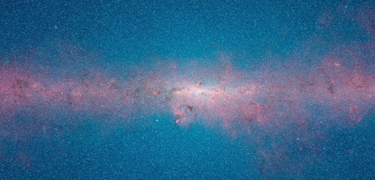
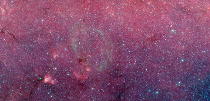
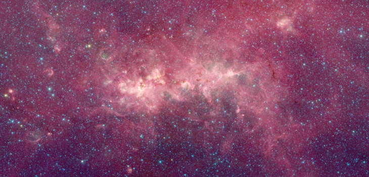
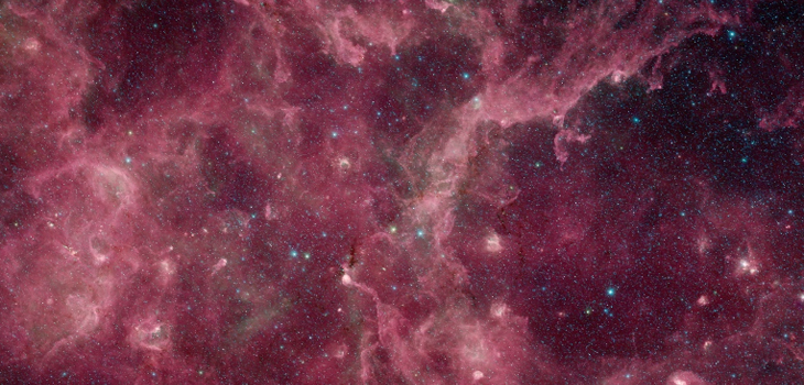
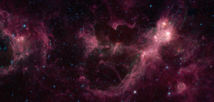
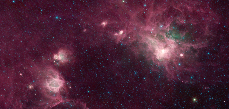
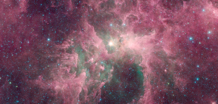
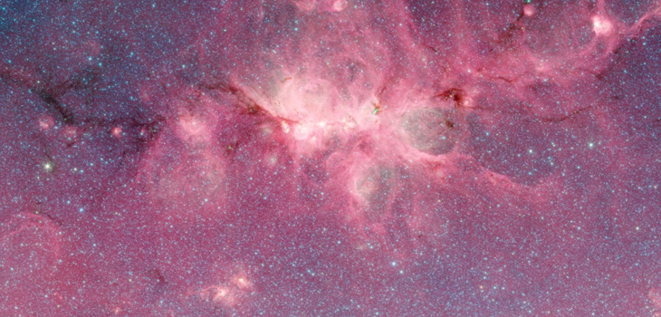
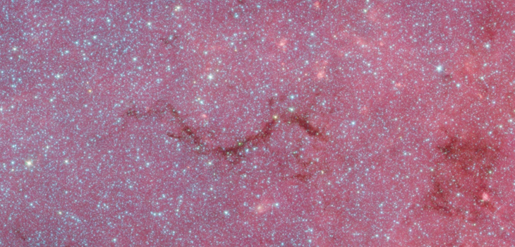
This infrared view of the disk, or plane, of our Milky Way galaxy is assembled from more than 2 million snapshots taken over the past 10 years by NASA's Spitzer Space Telescope.
The data were taken as part of a huge survey project called the Galactic Legacy Mid-Plane Survey Extraordinaire, or GLIMPSE360. Spitzer spent a total of 172 days taking the individual pictures, and this is the first time they have been stitched together into a single expansive view. The image covers about 3% of our sky, but because it focuses on a band of the sky that includes the plane of our galaxy, it shows more than half of the Milky Way's stars.
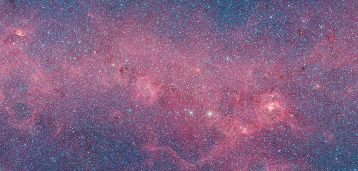
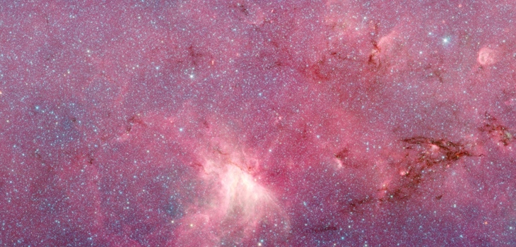
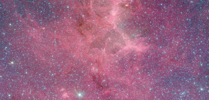
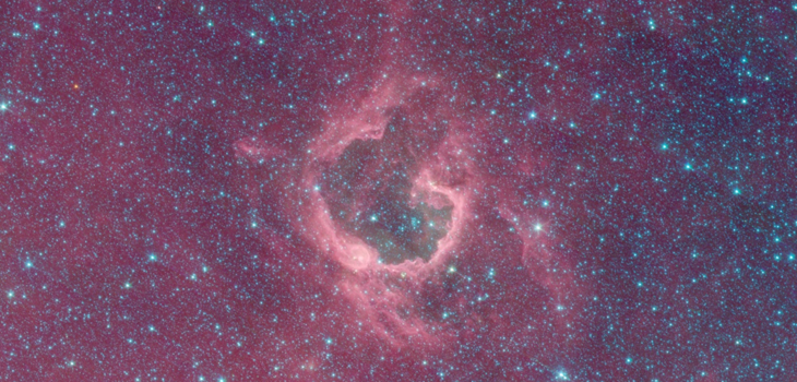
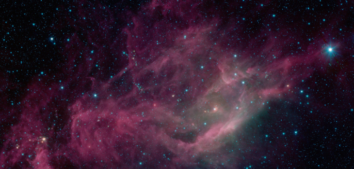
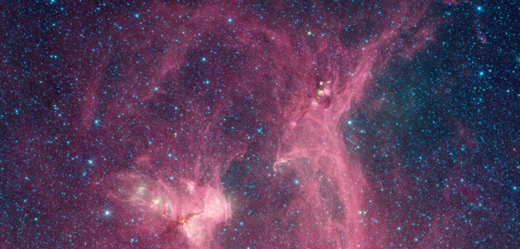
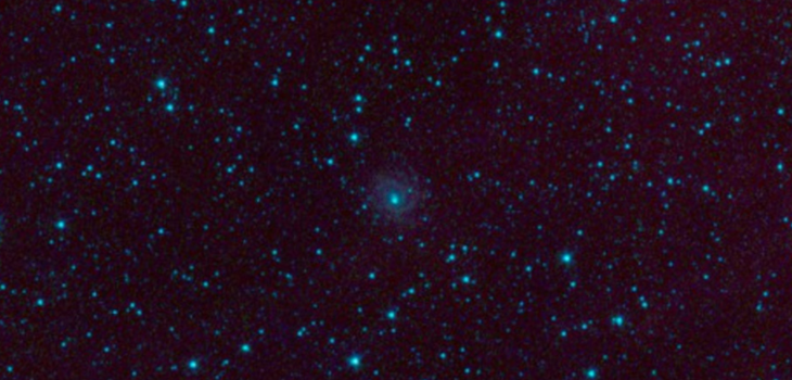
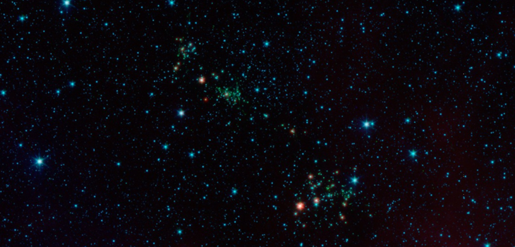
The blue dots throughout the image are all individual stars, most of which are relatively close to us, while the blue haze towards the galactic center is also made up of starlight, too far away for us to pick out individual stars, but all contributing to the glow. The red structures are clouds of dust and gas that permeate our galaxy, and give birth to new stars.
Throughout the image, you can see star birth in action, in brightly-lit regions; look closely and you'll also see bubbles, pillars and other shapes blown out and carved in the dust and gas by starlight and stellar winds. In many areas, dark filaments stand out sharply against the bright background. These dark tendrils are the thickest dust clouds in our galaxy, that not even Spitzer's infrared view can penetrate.
The image combines data from multiple surveys: GLIMPSE, GLIMPSEII, GLIMPSE3D, Vela-Carina, GLIMPSE360, Deep GLIMPSE, CYGX, GALCEN, & SMOG.
The 12-micron data from NASA's Wide-field Infrared Survey Explorer (WISE) was substituted for missing 8-micron data in outer galaxy regions mapped during Spitzer's post-cryo mission.
Help
Click and drag to pan through the image. Zoom in and out using the scroll wheel.
Current coordinates at the cursor are shown in the upper-left corner. Switch between Galactic (GAL) and Equatorial (J2000) systems using the pop-up menu.
The current field of view (FoV) is shown in the lower left corner.
Jump to places of interest using the "Navigate To" menu.
![]() Expand to fill the window.
Expand to fill the window.
![]()
![]() Zoom into/out of the image.
Zoom into/out of the image.
![]() Search for a location by name or coordinates.
Search for a location by name or coordinates.
![]() Advanced features:
Advanced features:
- Base Image Layer: Switch to other all-sky surveys for comparison.
- Overlay Layers: Display a marker at the center of the field.
- Tools: Create a PNG file showing the current browser view.
Mobile User Notes:
- Pinch-to-zoom is not supported; use the +/- buttons.
- The coordinate readout does not work on touch-enabled browsers.